FME Workbench allows building scripts for data transformation using a drag-and-drop GUI. Data transformation doesn’t require any programming or code writing. With just a couple of clicks you can transform data or use it for analysis purposes.
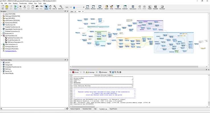
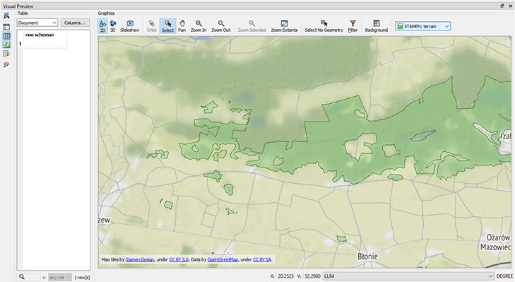
FME Data Inspector allows browsing through data using particular attributes. From 2019.0 version, FME has data inspector built-into FME Workbench. So it’s no longer necessary to constantly switch between those modules for each phase of work with the data.
How FME can help You?
Read, transform and save data
FME allows working on more than 450 data sources including spatial data. For example:
Check every format
- GIS – ArcGIS, MapInfo, GeoMedia, SmallWorld,
- CAD – Autodesk AutoCAD, Bentley MicroStation,
- Big Data – Oracle, Microsoft SQL Server, MongoDB, PostGIS, PostgreSQL,
- Text Files, Spreadsheets, CSV files
- Raster data – Satellite imagery (Landsat, Sentinel), Aerial photos, DTM (TIFF/geoTIFF),
- LIDAR and point clouds – LAS, Terrasolid, Cesium, Z+F LaserControl,
- Formats XML – GML, CityGML, KML, Indoor GML, Land XML,
- 3D and BIM – Revit, AutoCAD Civil 3D, Autodesk 3ds Max, SketchUp,
- Web Services – Amazon, JSON/GeoJSON, Google, OSM, HTML,
- And much more…

Transformers
FME possesses a great tool library that allows transformation and conversion of data. We listed some of the most popular functions below:
Check out all the transformers
- Tester – Evaluates one or more tests on a feature and routes the feature according to the outcome of the test(s).
- AttributeCreator – Adds one or more attributes to the feature and optionally assigns a value derived from constants, attribute values, and expressions. Values can reference adjacent features.
- AttributeManager – Alters multiple attributes through adding, renaming, copying, and deleting. Sets values for new, existing, and modified attributes to any combination of constants, attribute values, conditionals, and parameters.
- FeatureMerger – Merges the attributes and/or geometry of one set of features onto another set of features, based on matching key attribute values and expressions.
- Inspector – Sends features to the FME Data Inspector for display.
- Inspector – Sends features to the FME Data Inspector for display.
- AttributeKeeper – Removes all attributes and list attributes, except the specific ones you specify to be retained.
- TestFilter – Filters features by test conditions to one or more output ports.
- Creator – Creates features using the parameters supplied, and sends them into the workspace for processing.
- Reprojector – Reprojects feature coordinates from one coordinate system to another.
- Clipper – Performs a geometric clipping operation (sometimes called a cookie cutter). Most geometry types can be clipped by an area, and some may also be clipped by a solid. Attributes may be shared between objects (spatial join).

